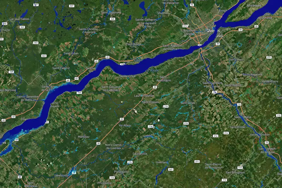
Geosapiens, an innovative company based in Quebec, has just launched a flood risk modeling tool for Canada. This tool provides precise flood mapping and can assess the likelihood and potential depth of flooding for specific properties.
Founded by researchers from INRS, Geosapiens utilizes high-resolution topography data, as well as climate and hydrological data, to create unprecedented flood models. This technological breakthrough, a first in Canada, promises a better understanding and management of flood risks across the country.
Read more on LaPresse.ca

